Central Plains Severe Threat
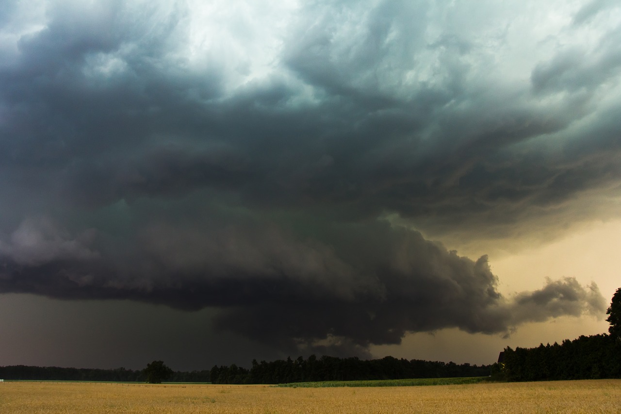
Severe weather will again be possible today for parts of the Central Plains and the Upper Midwest.
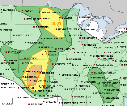
After the earliest first 100 degree day on record, Minneapolis will see temperatures climb into the mid 90s this afternoon. Dew points in the 60s will make it feel closer to 100F. Much of Minnesota is under a Slight Risk of severe weather. Storms are expected to develop this afternoon and continue until sunset. Large hail and damaging wind gusts are the primary concerns.
The main focus for severe weather later today will be across parts of Kansas and Oklahoma where there is an Enhanced Risk. This includes Salina, Hutchinson and Great Bend in Kansas and Woodward, OK.
Any storms that develop in these areas will be capable of producing damaging wind gusts, very large hail and even an isolated tornado. Stay weather aware!
Follow us on Twitter for updates.
What People Are Saying...
Twitter Mentions
Reddit
Jetpack Comments